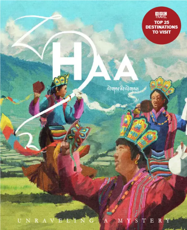
Unraveling a Mystery
Welcome to Haa
Tucked away in Bhutan’s far west, Haa unravels like a mystery…a distant lore. The last dzongkhag in Bhutan to open to tourism, Haa takes its place as a destination for true explorers, those willing to tread onto ancient trails – in a quest for raw, untouched natural landscape and stories. Here, the realms of nature and the ancient meet on ethereal mountain peaks, find each other in the calls of yak herders in the highlands, and immerse in a cultural realm that truly positions Haa as Bhutan’s Last Frontier.
With its name derived from the Choekey word “Hay” (ཧས), meaning astonishment or breathless wonder, Haa lives up to its title with untouched landscapes, sacred traditions, and deep cultural heritage.
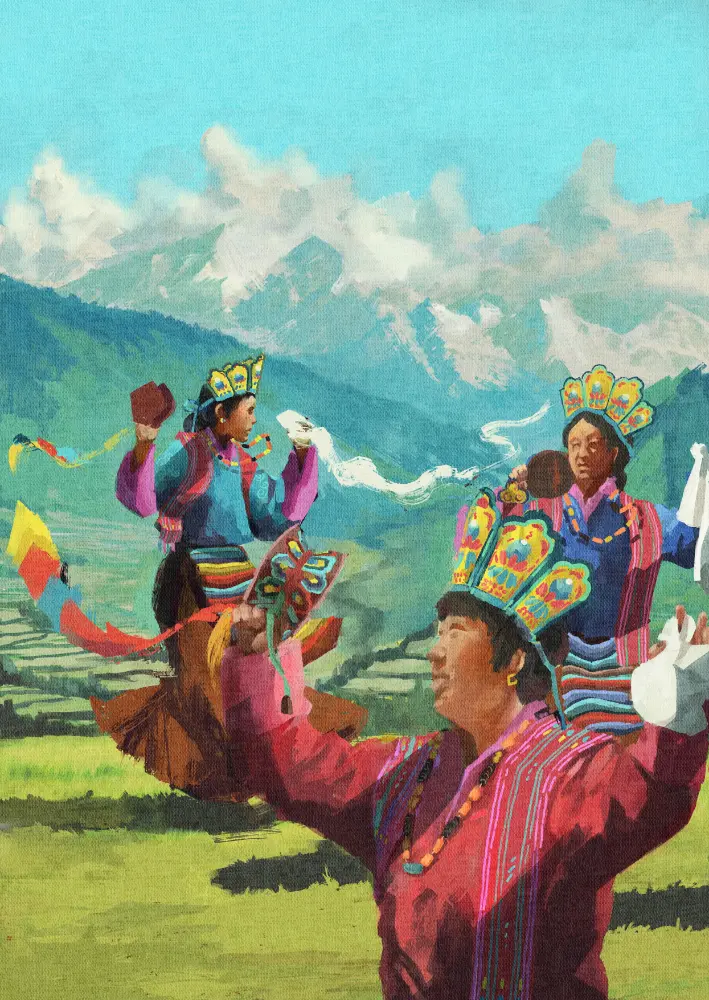
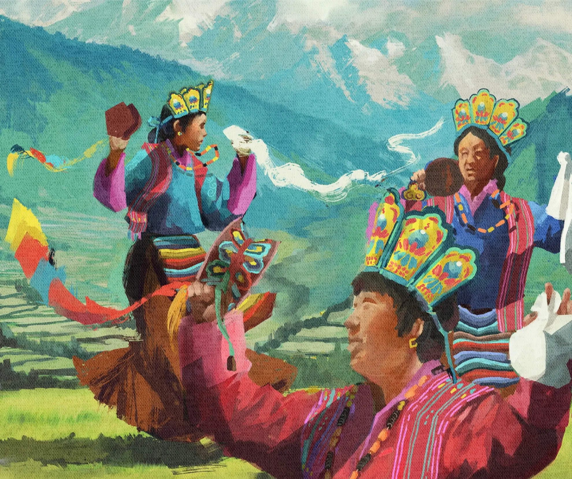
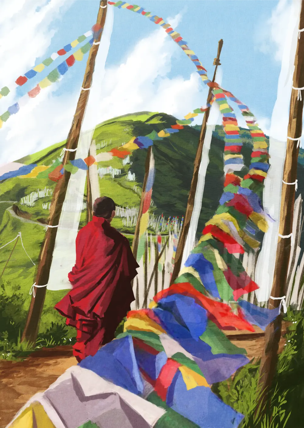
Culture of Haa
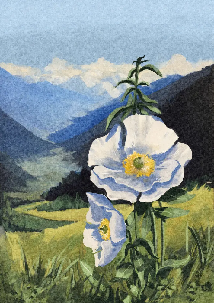
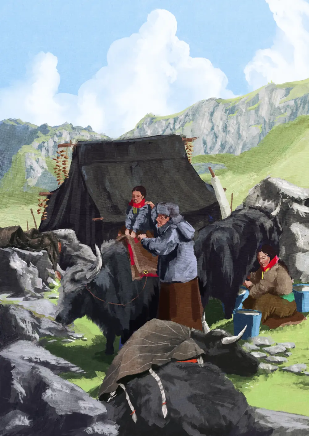
Nature & Wildlife
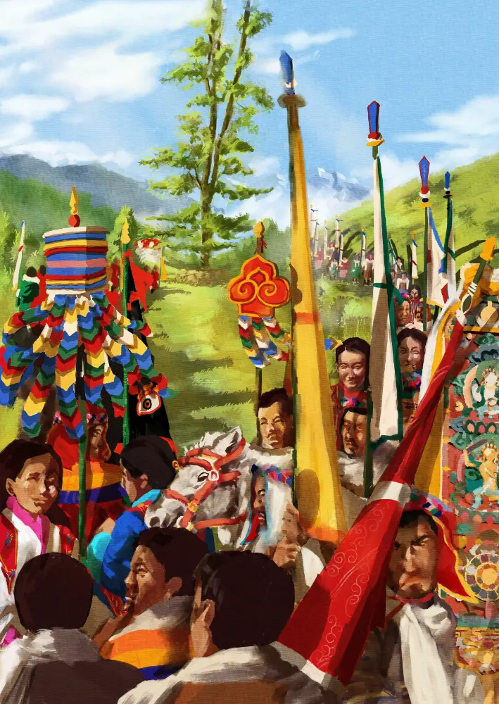
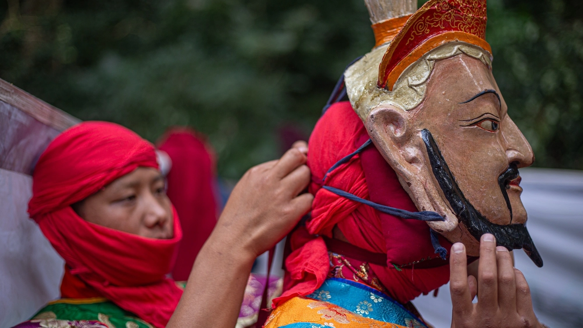
Events and Festivals
Attractions
Adventure


Have you ever heard of a Tshechu festival in a forest? Hidden deep in the forests of southern Haa,…
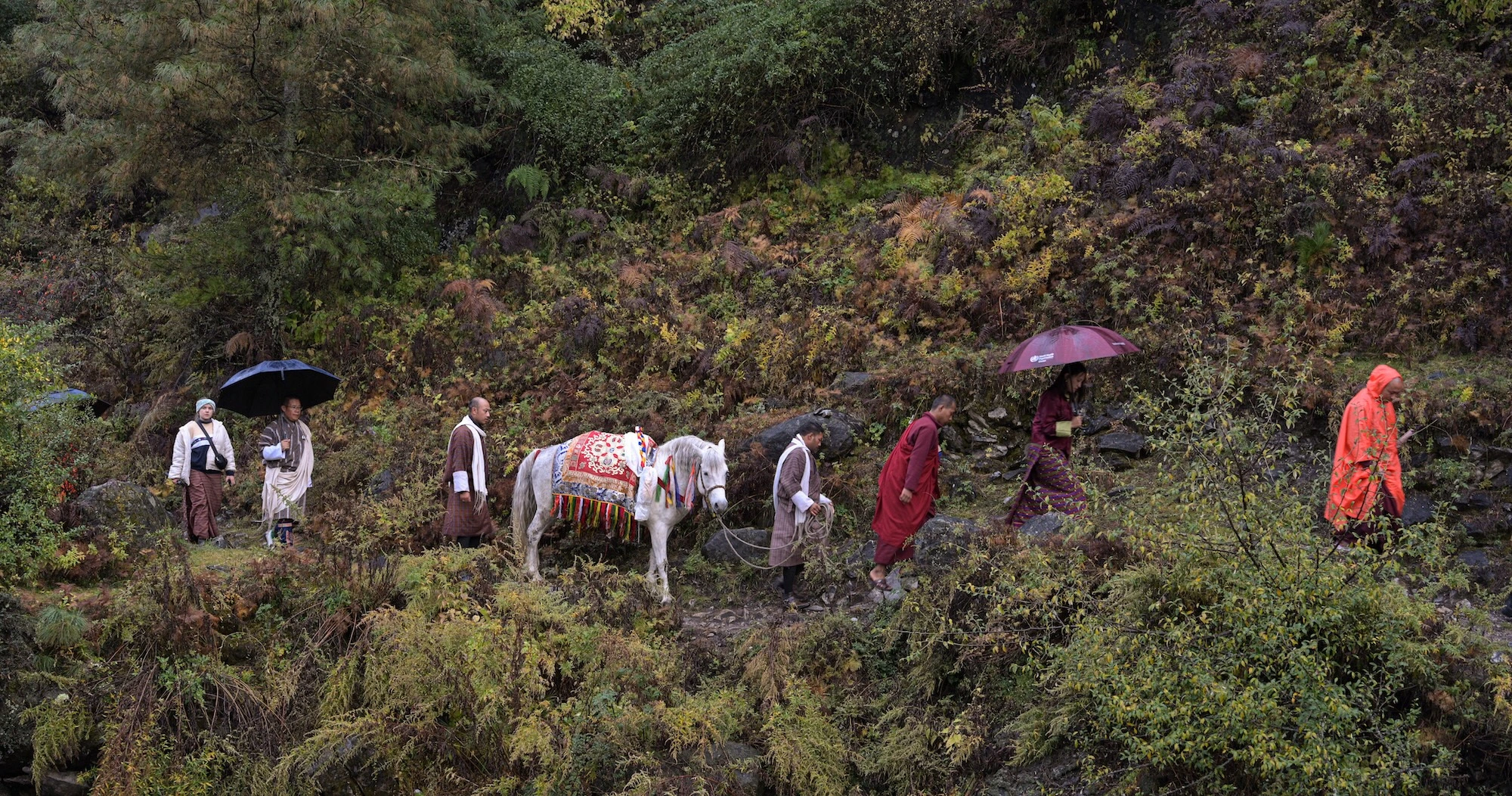
At 4:30 am on November 1 when even the leaves of autumn are too tired to fall, Bhutan’s longest…
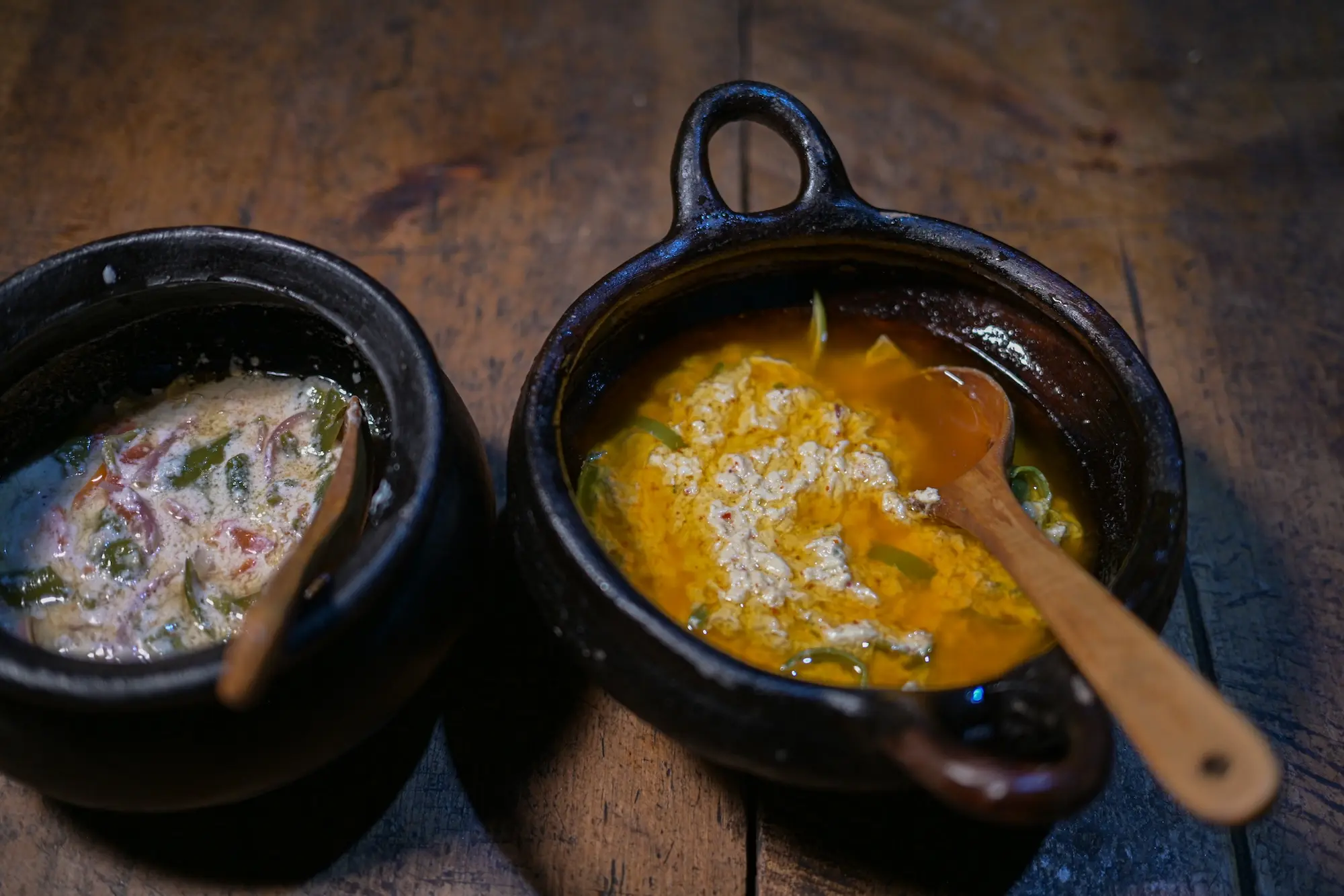
Explore Haa’s Traditional Cuisine
Haap cuisine is hearty, seasonal, but has a strong taste a community’s rich history: nourishment for high-altitude living…
Map of Haa
Facts about Haa
Location: Western Bhutan, bordering Tibet (China) to the north and Samtse Dzongkhag to the south
Elevation: Between 2,700 meters and 4,390 meters above sea level
Landscape: Alpine forests, dramatic valleys, sacred lakes, high mountain passes, and pristine rivers
Area: Approximately 1,706 square kilometers
Tallest Peak: Kang Bum – over 4,390 meters (14,400 ft), located near the Tibet border
Language: Dzongkha, the national language of Bhutan, is widely spoken; some speak local dialects
Livelihood: Primarily agricultural, with wheat, barley, buckwheat, and high-altitude dairy products
Biodiversity: Home to the Jigme Khesar Strict Nature Reserve, Bhutan’s only alpine reserve
Haa's Travel Magazine
Download your free copy of Haa’s Travel Magazine and begin the journey today!