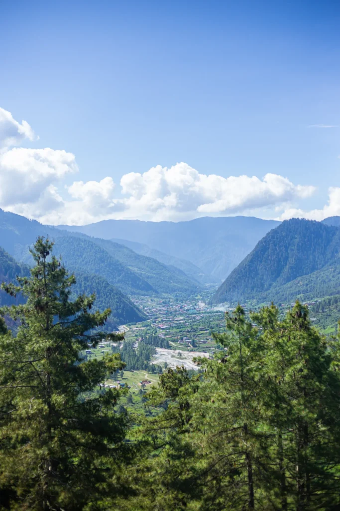
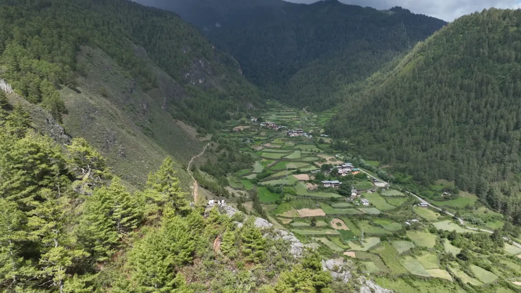
Just as the name suggests, the Panorama Hiking Trail offers sweeping panoramic views of Haa valley, Meri Phuensum and distant mountain peaks. Although the forest fire that occurred in April 2025 ravaged most of the beginning tree line of the hike, the views from this location are still stunning.
The trail begins from Yangthang Lhakhang (2893 m) about 15 minutes from Haa town. Here we meet Ap Kinley, owner of Kinley Wangchuk Homestay, who was ready with his hot flask full of tea with the savory kapchi (roasted wheat flour). If you want to start your hike strong, you can contact a local homestay to arrange your breakfast or lunch or your day. After a pleasant easy walk into the pine forests below the temple, the path gradually climbs to an elevation of 3106 m, moving through a mix of forested areas, open pastures, and Haa’s stunning surrounding mountain landscape.
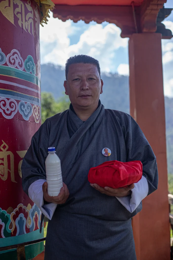
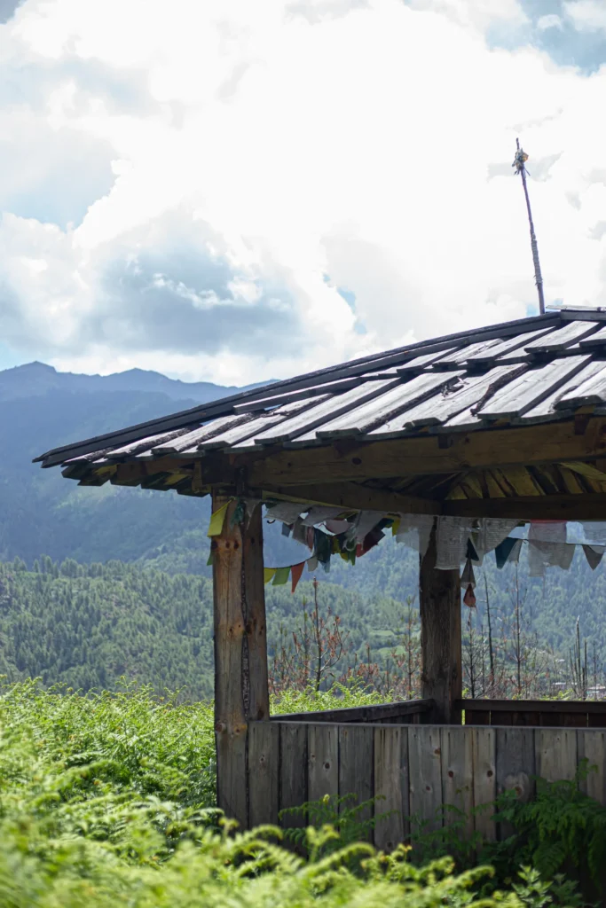
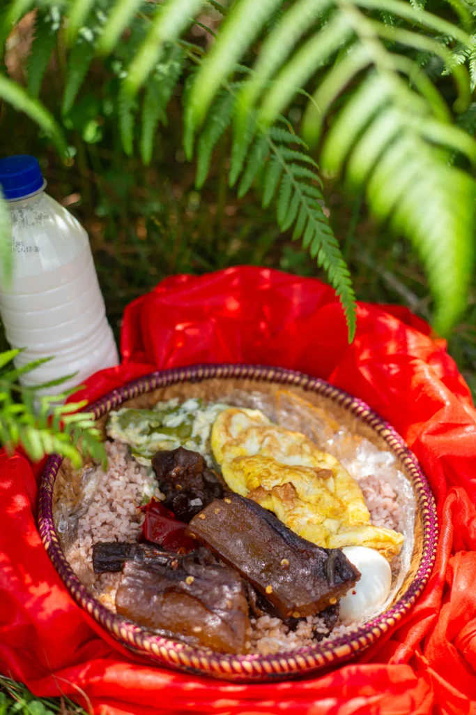
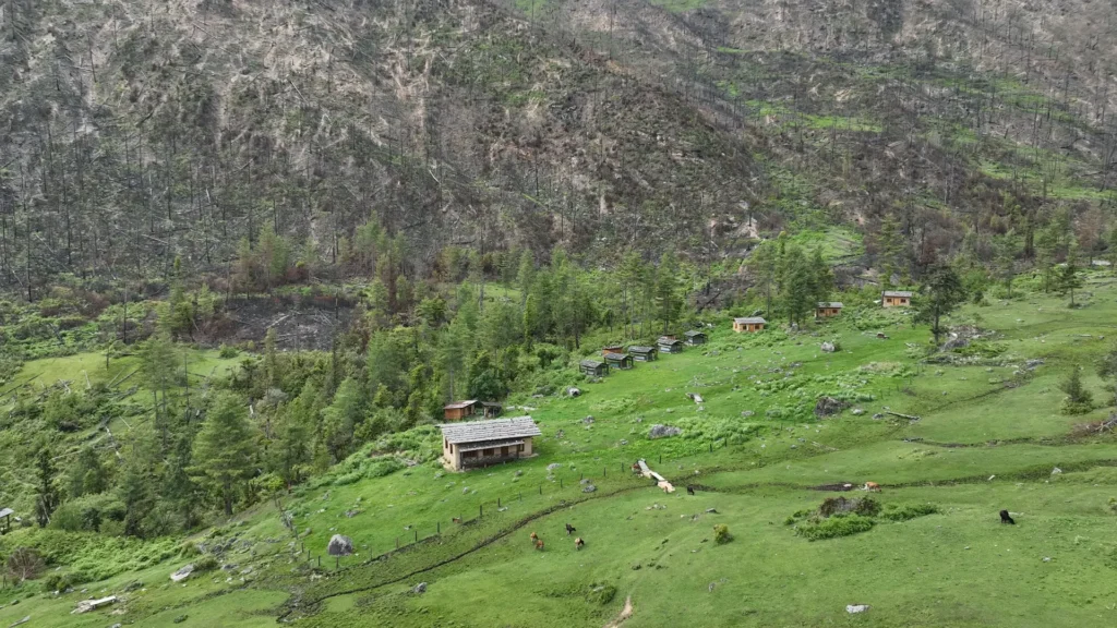
As you hike through the first part of the trail you will come across a canopy at the top of the mountain. From here you can witness the beautiful green pastures where Katsho Eco Camp is also located. Once you arrive at the pasture, you can stop here for your pack lunch. Our lunch was carefully prepared by Ap Kinley, packed in a traditional bangchung and consisted of traditional Bhutanese food: Red rice, emadatshi (chili cheese), sikam paa (braised pork), boiled egg and daw (butter milk). Having such a meal with a beautiful pasture as the backdrop is definitely a must try experience.
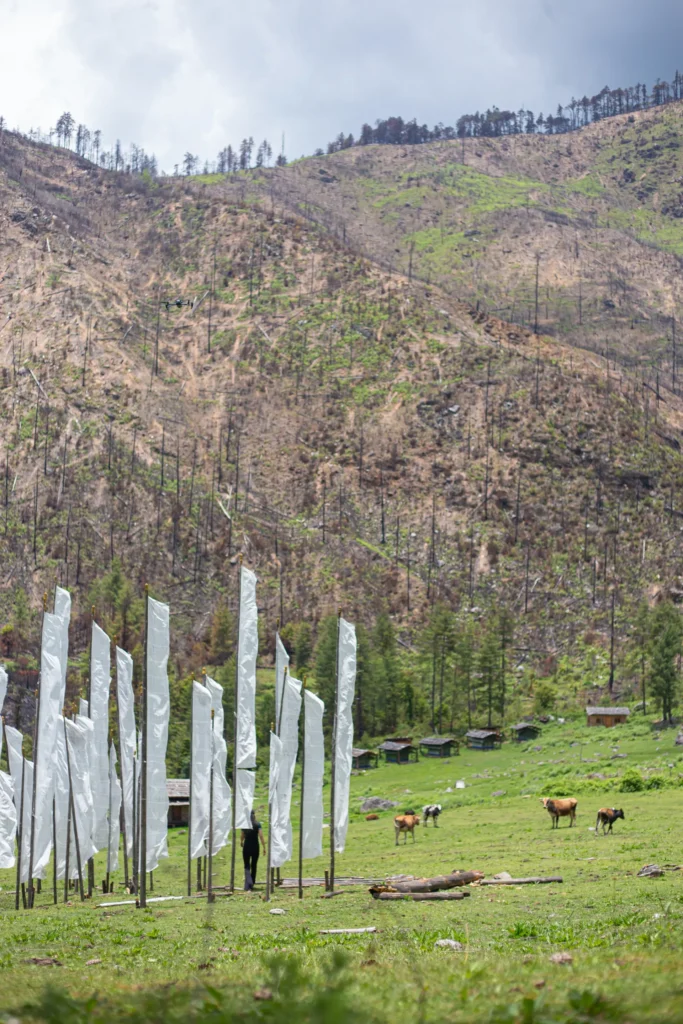
Along the way, the route passes notable landmarks including Yangthang Monastery (2700 m), Katsho Eco-Camp (2994 m), and the tranquil Juneydrak Hermitage (2908 m). Another highlight of the trail is having the opportunity to climb to the top of the horse’s head mountain. This particular mountain has a horse head-like indentation, and is also believed to be the horse of Haa’s local deity, Ap Chundu. From here, the trail descends gently into Wangtsa village at 2850 m. Wangtsa is approximately 2.9 km from Haa town.
Spanning a total distance of 18.4 kilometers, the hike takes approximately eight hours to complete at a relaxed and enjoyable pace.
Starting Point: Yangthang Lhakhang ( appx 5.5 km from Haa town) Bji Gewog
End point: Wangtsa Village
Distance: 11 km
Duration: 6 hrs
Difficulty : Moderate
If you’re interested to take the Panorama Hike, you can also contact a local homestay to arrange the hiking experience for you. Go to our homestay section for contact details.